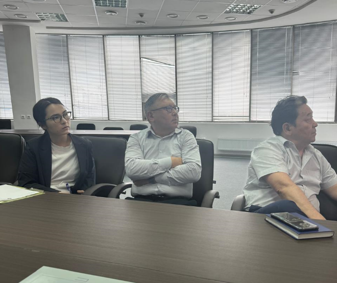
On June 18, 2024, representatives of the Executive Committee of the International Fund for Saving the Aral Sea visited the JSC "National Company "Kazakhstan Gharysh Sapary" in Astana. During the meeting, the parties discussed the possibilities of satellite monitoring and remote sensing of the Earth (RS), which play a crucial role in water resource management. Specifically, satellite technologies allow for tracking the spatial distribution of irrigated areas, analyzing water supply and consumption volumes in fields, as well as determining water productivity and crop yield in agriculture.
Thus, RS is a modern tool for optimizing water consumption in agriculture, ensuring sustainable use of water resources, assessing the effectiveness of their utilization, and developing measures for water management optimization. At the meeting, the JSC "National Company "Kazakhstan Gharysh Sapary" presented the results of its satellite monitoring activities in the Syrdarya river basin within Kazakhstan. In turn, specialists from the International Fund for Saving the Aral Sea acknowledged the relevance of these efforts and discussed the prospects for RS application in the Aral Sea basin.

EXECUTIVE COMMITTEE OF THE INTERNATIONAL FUND FOR SAVING THE ARAL SEA © 2025