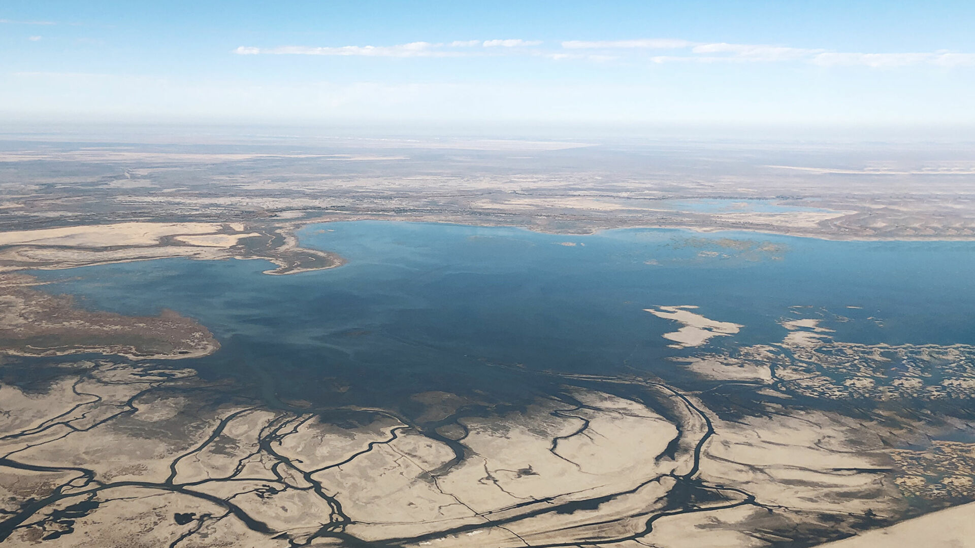
Located in the heart of Central Asia, the Aral Sea basin includes the basins of two major rivers: the Amu Darya and Syr Darya. Both rivers originate in the Tien Shan and Pamir Mountains and flow through the territory of Afghanistan, Tajikistan, Kyrgyzstan, Turkmenistan, Uzbekistan and Kazakhstan.
The water resources of the Aral Sea basin include surface waters, glaciers and underground springs.
Surface water resources are mainly concentrated in the basins of the two main rivers of the region – the Amu Darya and Syr Darya. Independent hydrographic basins (tending to the Amu Darya and Syr Darya rivers) form the Kashkadarya, Zaravshan, Murgab, Tejen, Chu, Talas rivers – which lost their connection with the main rivers many centuries ago. In general, the surface waters of the main rivers and their major tributaries in the Aral Sea basin are transboundary.
According to the conditions of formation and transformation of surface runoff in the region, the territory can be divided into three main zones:
Water resources of the Aral Sea basin:

EXECUTIVE COMMITTEE OF THE INTERNATIONAL FUND FOR SAVING THE ARAL SEA © 2026